-
Courses

Courses
Choosing a course is one of the most important decisions you'll ever make! View our courses and see what our students and lecturers have to say about the courses you are interested in at the links below.
-
University Life
University Life
Each year more than 4,000 choose University of Galway as their University of choice. Find out what life at University of Galway is all about here.
-
About University of Galway
About University of Galway
Since 1845, University of Galway has been sharing the highest quality teaching and research with Ireland and the world. Find out what makes our University so special – from our distinguished history to the latest news and campus developments.
-
Colleges & Schools
Colleges & Schools
University of Galway has earned international recognition as a research-led university with a commitment to top quality teaching across a range of key areas of expertise.
-
Research & Innovation
Research & Innovation
University of Galway’s vibrant research community take on some of the most pressing challenges of our times.
-
Business & Industry
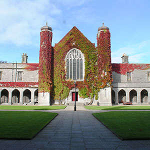
Guiding Breakthrough Research at University of Galway
We explore and facilitate commercial opportunities for the research community at University of Galway, as well as facilitating industry partnership.
-
Alumni & Friends
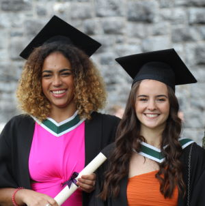
Alumni & Friends
There are 128,000 University of Galway alumni worldwide. Stay connected to your alumni community! Join our social networks and update your details online.
-
Community Engagement
Community Engagement
At University of Galway, we believe that the best learning takes place when you apply what you learn in a real world context. That's why many of our courses include work placements or community projects.
August 2012 Latest Maps of Coral Reefs to Inform Conservation Policy
Latest Maps of Coral Reefs to Inform Conservation Policy
The newest and most detailed maps showing the predicted location of coral reefs in Irish waters were revealed at a conference in NUI Galway this week. The maps are expected to prove very useful to policymakers, and draw heavily on information contained in the Irish National Seabed survey seafloor bathymetry map – one of the most extensive maps ever produced by a maritime nation.
They were presented by NUI Galway PhD candidate, Anna Rengstorf, at a four-day international marine conference ‘Ecosystem Based Management and Monitoring in the Deep Mediterranean and Norht Atlantic’ which concludes today.
Over 70 scientists and stakeholders from 15 countries attended the event at NUI Galway to discuss the latest scientific research from two European Union funded projects - CoralFISH and Deepfishman - devoted to the management of deep-sea resources.
The aim of the conference is to produce concrete proposals for the implementation of improved management of deep-sea fisheries and indeed other deep-sea resources taking into account the need to conserve biodiversity.
The conference is very timely as the European Commissioner for Maritime Affairs, Mde. Damanaki has proposed changes to the Deep-Sea Access Regime governing the licensing of boats wanting to fish deep-sea species. The Commissioner has proposed that trawling and all bottom contact fishing gears should be phased out over a two year period. This has been met with applause by conservationists but with less enthusiasm by fishermen.
Dr Anthony Grehan, of the Ryan Institute at NUI Galway, who is hosting the conference said: “The need to develop the tools and a strategy for the implementation of maritime spatial planning is becoming increasingly urgent. Competition for deep-sea resources is becoming more intense while the need to ensure adequate conservation of biodiversity - and genetic variety - is a priority for the future health of the planet.”
One approach that is gaining favour is the development of habitat suitability modeling that takes information about where species or habitats occur from detailed maps and extrapolates it to produce predicted distribution maps over much larger areas. NUI Galway is one of the pioneers of applying this approach in the deep-sea.
The maps produced by Ms Rengstorf, who is a Geological Survey of Ireland Griffiths Programme post-graduate awardee, will feed into this approach. Dr Grehan who supervises the project said, “these maps are statistically robust and reduce the need for expensive field mapping while providing sufficient detail for policymakers and managers to enable activity zoning as a key component in the implementation of a any future maritime spatial plan.”
Dr Grehan added this is definitely the way forward and will likely become a key component of the implementation of the ‘Harnessing Our Ocean Wealth - An Integrated Marine Plan for Ireland’. The Government plan was launched by An Taoiseach Enda Kenny, TD at the Marine Institute, Galway last month with the intention of doubling the value of Ireland’s ocean wealth to 2.4% of GDP by 2030 and increasing the turnover from our ocean economy to more than €6.4bn by 2020.
-ends-


