-
Courses

Courses
Choosing a course is one of the most important decisions you'll ever make! View our courses and see what our students and lecturers have to say about the courses you are interested in at the links below.
-
University Life
University Life
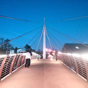
Each year more than 4,000 choose University of Galway as their University of choice. Find out what life at University of Galway is all about here.
-
About University of Galway
About University of Galway
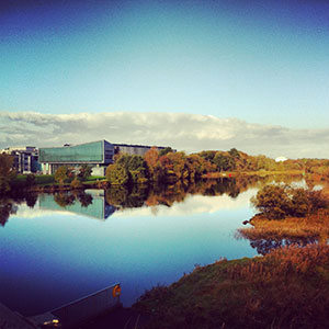
Since 1845, University of Galway has been sharing the highest quality teaching and research with Ireland and the world. Find out what makes our University so special – from our distinguished history to the latest news and campus developments.
-
Colleges & Schools
Colleges & Schools
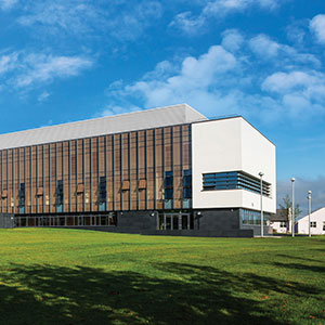
University of Galway has earned international recognition as a research-led university with a commitment to top quality teaching across a range of key areas of expertise.
-
Research & Innovation

Research & Innovation
University of Galway’s vibrant research community take on some of the most pressing challenges of our times.
-
Business & Industry
Guiding Breakthrough Research at University of Galway
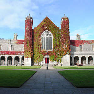
We explore and facilitate commercial opportunities for the research community at University of Galway, as well as facilitating industry partnership.
-
Alumni & Friends
Alumni & Friends
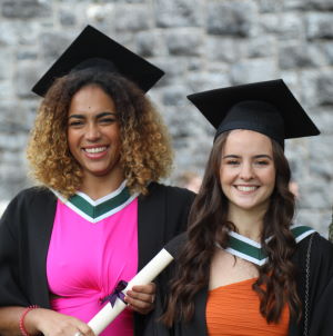
There are 128,000 University of Galway alumni worldwide. Stay connected to your alumni community! Join our social networks and update your details online.
-
Community Engagement
Community Engagement
At University of Galway, we believe that the best learning takes place when you apply what you learn in a real world context. That's why many of our courses include work placements or community projects.
Grounded - QGIS for Schools
Grounded - QGIS for Schools
'Grounded: Explore your world' is an introductory course to Geographical Information System (GIS) software (QGIS), designed for secondary school students. The course is aimed at Transition Year students and has been produced to fulfil all the requirements of a Transition Unit. The overall aim of the course is to teach students how to create their own maps.
The course shows students how to implement GIS as a tool to interrogate and manage spatial information, demonstrating how it can be a strong support to decision-making processes for territorial and environmental plans. There is also a focus on global and local citizenship, using mapping to explore social and environmental issues that are affecting their locality – regarding conservation, sustainability, accessibility and mental health. Throughout the course the students will be reminded to consider the United Nations Sustainable Development Goals.
The course can be self-taught using the student manual or guided and assisted with a teacher using the teacher manual. The course is supported with YouTube tutorials at https://www.youtube.com/playlist?list=PLUPVqPQHnC6DLRXlxGOtrfzyGhdhnHGws
Requirements for the Course
The course requires access to the following:
- QGIS software (free download)
- Use of the same computer for each class or use of a personal USB
- Internet connection
- Excel
Resources
- Appendix A: Goals Sheet
- Appendix B: Course Certificate
- Appendix C: Certificate Application
- Appendix D: Resources
- Appendix E: Installing QGIS
- Appendix F: Poster Guidelines
- Appendix G: Peer Assessment
- Appendix H: Student Evaluation
- Appendix I: Teacher Evaluation
- Student Manual
- Teacher Manual
- Poster Advertisement
No prior knowledge or experience in QGIS is required to learn or teach this course.


